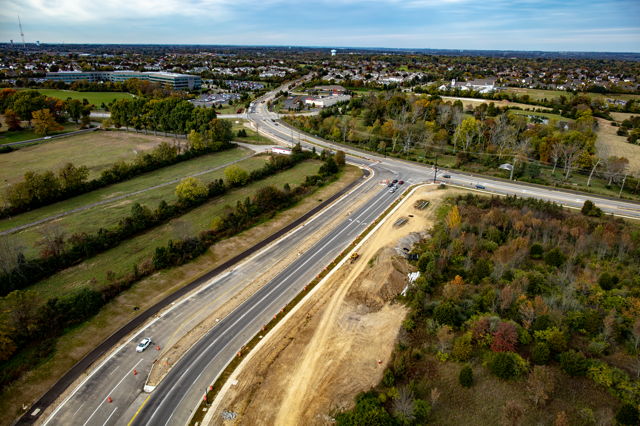
Innovation Way Road Widening
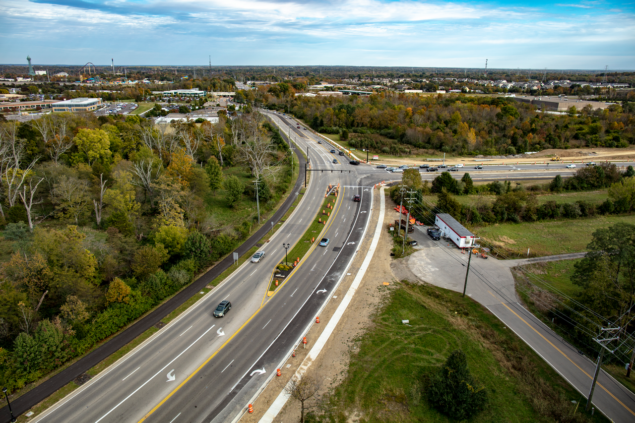
Roadway improvement plans were developed for approximately 0.66 miles of Innovation Way, transforming the existing three-lane roadway into a five-lane corridor. The design includes center medians and dedicated left-turn lanes at key driveway intersections to enhance traffic flow and safety.
A comprehensive corridor study was conducted to understand current traffic patterns and identify opportunities for improvement. The project aimed to not only improve mobility but also align with the aesthetic enhancements introduced through the nearby Western Row Interchange project, while supporting the City of Mason’s long-term planting strategy for its primary roads.
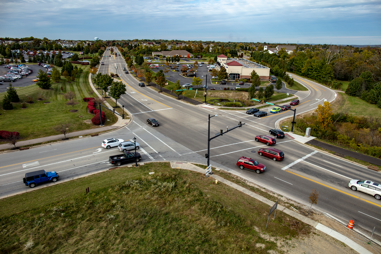
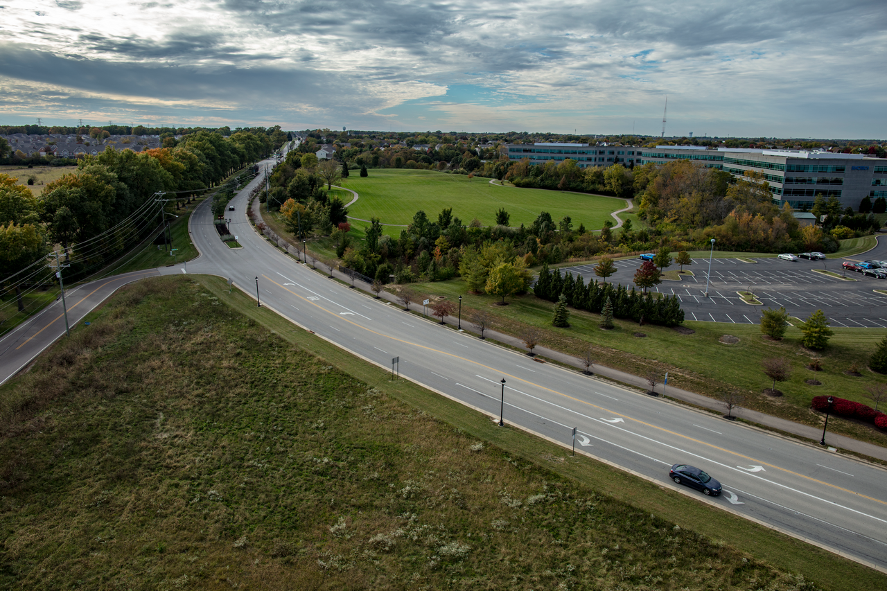
In collaboration with the local Transportation Improvement District (TID) and the City of Mason, the design team created a complete street improvement plan. This included roadway and signal design, as well as sustainable landscaping and irrigation. Plant selections emphasized low maintenance, year-round visual interest, and environmental resilience.
More Featured Projects


