Geovisualization_Services

contact us
see your world better


Get the right perspective.

Your project’s success hinges on the accuracy of your data and your ability to relate to it. Make sure you have the right perspective.

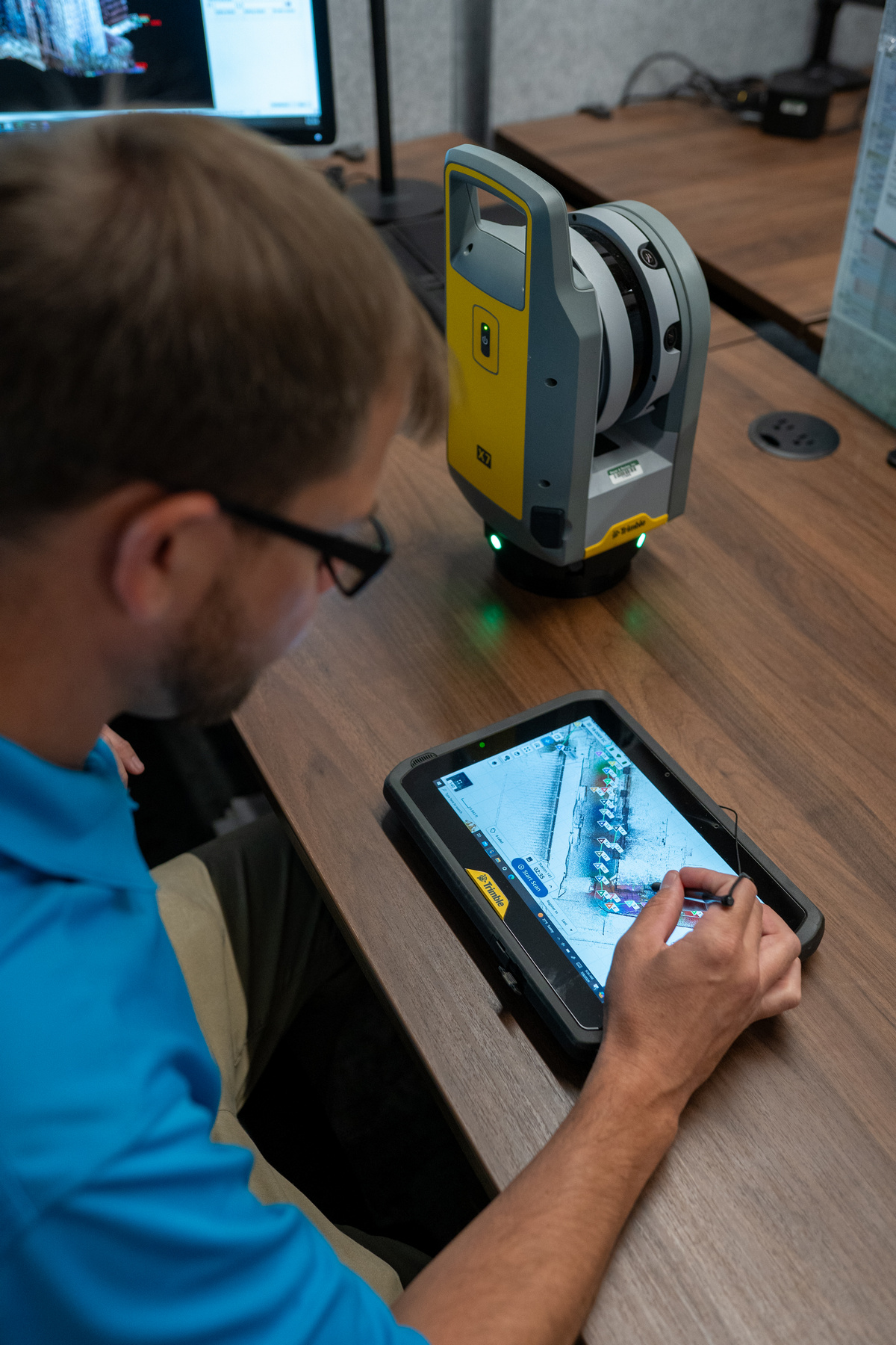
Geovisualization takes geospatial data one step further, allowing you to work with a more holistic view of your project, enabling you to make better decisions for your project with more confidence. Our team and technology creates a dynamic, survey accurate virtual world that seamlessly blends the existing environment and conceptual features. Our approach provides photo-realistic representations that will transform your vision from paper to an interactive experience.

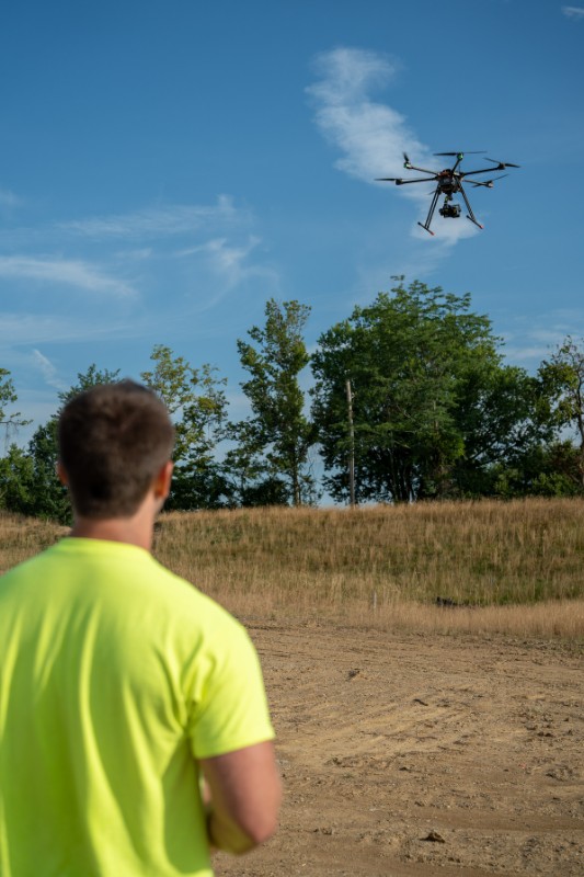
Our team has always championed technological growth, flexibility, and expansion at every level of the business. When the market didn't offer a drone that would fit our specialized needs, we designed and built it from scratch, in-house.

comprehensive
Advanced geospatial analysis and 3D modeling generates a holistic representation of your site, allowing you to assess it from an unlimited number of perspectives.
efficient
Leveraging sUAS technology allows us to reduce mapping time from days or weeks to hours, while retaining the accuracy and precision of a traditional survey.
accurate
Multiple angles and millions of data points create the most reliable and precise geospatial positioning information available for the entirety of your project site.
safe
Eliminate the need to traverse unknown or dangerous terrain. From visual documentation to advanced geovisual modeling, our team and technology can help you reduce your risk.
collection
Our in-house sUAS pilot team will select the optimal vehicle and flight plan based on your site size, conditions, and deliverable goals. Multiple angles and control points will return millions of survey-accurate data points in a single flight.
analysis
The pilot team, surveyors, and engineers will compile the data collected and collaborate to optimize and organize the collected point clouds using industry leading software.
modeling
We have the capability to provide a variety of industry recognized deliverable formats and will model the data in your preferred format. Our team will integrate any conceptual elements into the finished geovisualization model.
See a world of possibilities
3D concept modeling
attract funding, investing
highlight site features & challenges
experience proposed environment
visibility & interactivity
point cloud fly through
measure distances, heights, & volumes with accuracy
safely map dangerous & non-uniform surfaces
visualize site challenges & opportunities
visual documentation
2D orthoimagery
GPS mapped video documentation
inspection photos
safely assess hazardous areas
deliverable options
classified point clouds
digital terrain models
full motion video
geotagged photos
high resolution orthorectified aerial imagery
3D models
low altitude aerial marketing photos
marketing concept graphics
point cloud renderings with fly throughs
site & construction documentation
video documentation
visibility studies
volumetric analysis
 
 
contact us
want to know more?
Contact us today to learn more about facilities, equipment, software solutions & more.
geovisualization services
3D modeling
geospatial analysis
geovisualization
orthoimaging
point clouds
point cloud flyovers
UAS / drone surveying
visual documentation
 

Get In Touch With Us

  • CINCINNATI   (513) 834-6151
    1404 Race Street Suite 204
    Cincinnati, Ohio  45202
  • INDIANAPOLIS   (317) 207-1979
    1060 North Capitol Ave Office 15
    Indianapolis, IN  46204
  • MASON   (513) 336-6600
    6900 Tylersville Road Suite A
    Mason, Ohio  45040
  • NORTHERN KENTUCKY   (859) 261-1113
    209 Grandview Drive
    Fort Mitchell, Kentucky  41017
  • OXFORD   (513) 523-4270
    110 South College Avenue Suite 101
    Oxford, Ohio  45056

Featured Projects